North of Columbus (Madison State Road)
Columbus, IN
Jan 20, 2008
A short distance south of Edinburgh, US-31 intersects I-65.
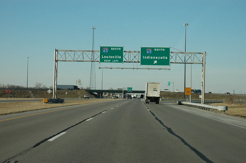
Northbound view on US-31 between Taylorsville and Edinburgh, Indiana at its interchange with I-65.
A half mile south of I-65, the Madison State Road turns due east on County Road 650 North/Tannehill Road towards Taylorsville. The road then turned south on either Tecumseh Street or Main Street. It sounds like the auto tour books had traffic turn right onto Tecumseh Street which followed a section line most likely down to County Road 600 North where traffic would again turn east back to the railroad tracks where it would follow the railroad southeast into Columbus. Since Tecumseh no longer goes through, you should turn left onto Friendship Drive which curves over to the railroad tracks. Notice the very wide bridge just before Friendship Drive turns back west to meet US-31 at County Road 600 North. The width of the bridge indicates that at one point Friendship Drive was part of the Madison State Road alignment.
A little bit south of County Road 400 North, you can turn left onto Indianapolis Road to head toward downtown Columbus. This road was formerly IN-11 and before that, Alternate US-31. This is the best route to downtown Columbus, as US-31 bypasses it to the north and east.
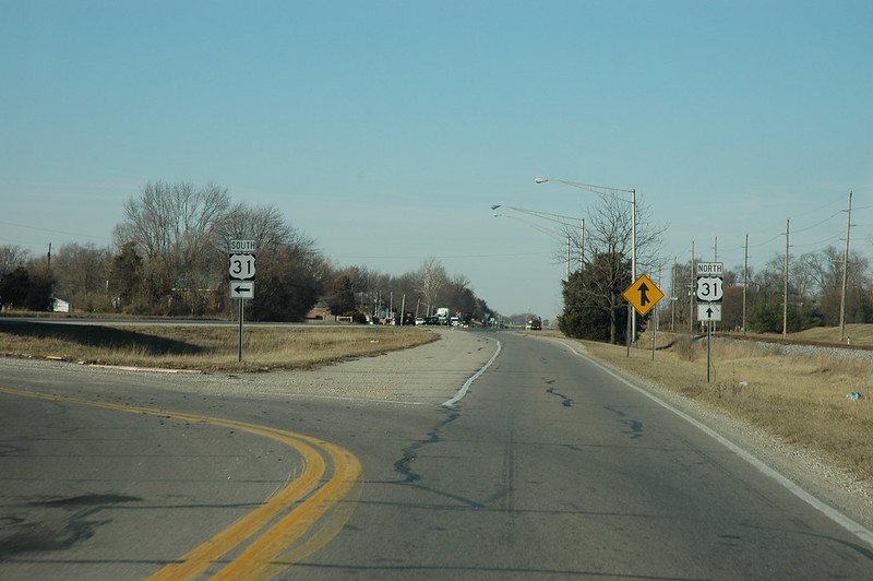
Northbound view on Indianapolis Road north of Columbus, Indiana at its confluence with US-31.
The road here did not originally continue straight along the railroad track. Just past this split, you would have had to turn west onto what is now Victory Lane (350 North) and then immediately south onto County Road 150 West, heading towards Lowell. You would have followed 150 West south until you reached 200 North which lines up with what is now Kenholt Drive. This original path is now disjointed due to the US-31 bypass and other changes, so you will probably want to continue along Indianapolis Road.

Northbound view on Indianapolis Road (formerly IN-11 and before that, US-31A) between Columbus, Indiana and its junction with US-31.

This directional sign is for northbound traffic on Brown Street (formerly IN-11 and before that, US-31A) in Columbus, Indiana, as it forks left to Indianapolis Road and right to 11th Street.
The Madison State Road originally entered Columbus on 8th Street, but they have since made that street one-way and reconfigured the road a little bit. I find the sign on the right in the picture above with the direction for 11th Street somewhat unique.